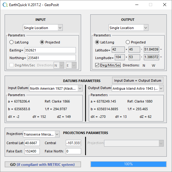
GeoPosit enables to cope with Geodetic Coordinate Systems concerns, dealing with single locations, ASCII files, SEGY files, images, satellite pictures, shapefiles and KML files .
Download user guide for a sharp insight.
Available transformations and I/O are listed and illustrated below. Contrary to other modules, GeoPosit requires lengths and distance expressed in the metric system.
- Case 1
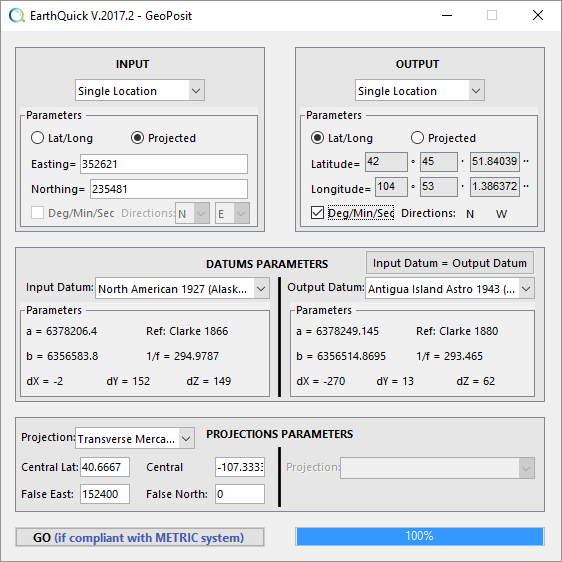
To transform a single location directly typed in the EarthQuick frame. I/O could be projected coordinates (Easting/Northing) or geographic coordinates (Latitude/Longitude in Deg/Min/Sec or decimal modes).

GeoPosit in use with case 1.
- Case 2
To convert columns of ASCII file.
- Case 3
To import navigation into trace headers of a SEG-Y file from an ASCII file containing navigation. Navigation points number from ASCII file could be different than SEG-Y traces number.
- Case 4
To extract navigation from a SEG-Y file and put it within an ASCII file.
- Case 5
Simply to convert navigation in a SEG-Y file. I/O are the same file.
- Case 6
To georeference images. Inputs could either come from third party pictures with anchor points or be loaded from Google Apps services. Optional control consists in interactive deformation/calibration of the picture to cope with lateral distortions. Processing a picture with GeoPosit automatically enables display of the latter in the Global Viewer module.
- Case 7
To import polygons/lines enclosed in a shapefile directly in the Global Viewer and write simultaneously information in an ASCII file.


